Sunday, September 1, 2019

Mt Conybeare Traverse

Since we didn't manage to do any travelling after returning from the Nootka Trail, we opted for a two-day ridge traverse in the mountains just west of Squamish as the summer came to a close. Pam and I had climbed Mt Lapworth and Mt Murchison the summer before and had spied a ridge that led to Mt Conybeare and beyond. Completing this route all the way to Lake Lovelywater became our plan and we decided to use a helicopter to eliminate the substantial approach and descent. This turned out to be a good call since the actual ridge traverse proved to be far more physical than we had expected. Click on the pictures if you'd like to see a larger view.


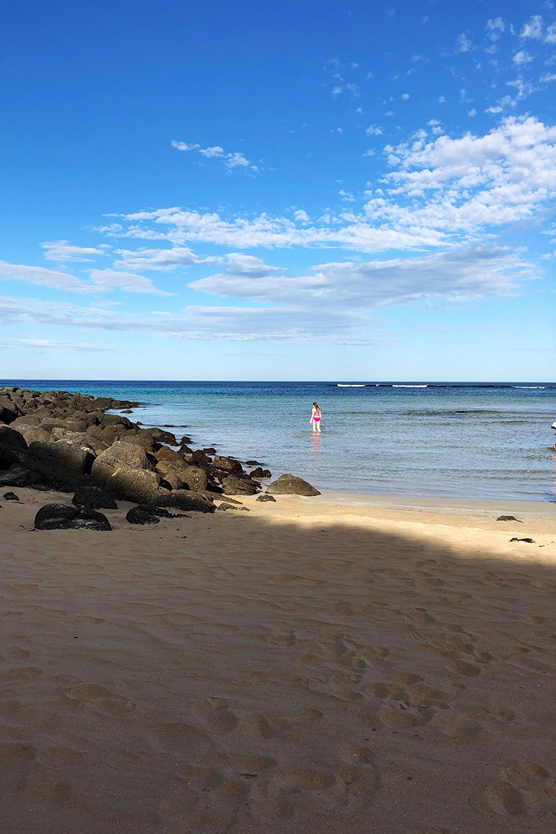
We landed at the intersection of the Lapworth and Murchison ridge-lines, a spot Pam and I had been to a year earlier. Finding a flat spot to put down turned out to be more challenging than expected.


Pam and Elise getting ready to start. Mt Murchison in the background.


Looking at our route. Mt Conybeare is the dark peak in the upper right, Sedgwick is the distant peak in the centre. We followed this rocky ridge-line to Conybeare and beyond. There were a number of deep gaps in the ridge that required climbing in and out of. We brought a rope to allow us to rappel where necessary, but the route could definitely be done without one.


There were many small tarns along the initial ridge, but water became scare later in the trip.


Pam and Elise relaxing on the summit of Conybeare, mid-afternoon on day one. Our route for the following day would take us around the peak (Mt. Niobe) right of centre in the background. Choosing a descent off Conybeare took a bit of time, but we eventually opted for the long, less-steep west slope that led down to an alluring lake.


The basin on the northwest side of Conybeare became our camp for night one. We found a great little melt-water lake with flat gravel for a tent pad. You can see out tent in this picture if you look very closely. You can also see Pam and Elise...


The same shot, but at sunset. Elise is visible standing on a rock on the shoreline.


Leaving camp the next morning. You can see our lake on the left and Mt Sedgwick is the prominent peak in the background. Another trip perhaps?


Ascending steep heather slopes towards the shoulder of Mt. Niobe. It was a very hot day and this slope was south facing. We were relieved to soon move onto the shadier north side of Niobe.


 Our first glimpse of Lake Lovelywater, a welcome sight on a hot day and the spot that would mark then end of the traverse.


Elise rappelling down a short face to reach the start of the snowfield traverse.


Pam on the snowfields on the north side of Mt Niobe. Mt Serratus is the broad peak in the background.


Elise in the same location.


Nearing the end of the day, we got nice views down into the Niobe basin and this amazing melt-water lake. At this point, we're about an hour from the end and only had to descend to Niobe Meadows and the Sandspit Campground a short distance beyond.


Our final camp on the shore of the lake. Soon after we arrived, we all went swimming - it felt great after the long hot day. The next morning we rose early and hiked 45 minutes to reach our pick-up spot for the helicopter flight home. We were all tired, but it felt good to have spent a couple of refreshing nights in the mountains close to home. 

Sunday, July 7, 2019

Nootka Trail

For our 2019 coastal hike, we chose the Nootka Trail during the first week of July and had variable conditions. It wasn't very sunny, but it didn't actually rain on us, which was a bit of a miracle given our location on the outer coast and the forecast. We teamed up with our friends Anne and Josie Clifford to make a group of five. Our journey started with a long drive to Gold River and then a float plane shuttle to the north end of the trail. From there, we hiked 35 km south to Friendly Cove over the next five days. Highlights included amazing swimming at Calvin Falls, a chest-deep channel crossing and an incredible whale show on the last day (see video near the end).

Air Nootka flew us out Nootka sound to the start of the trail.


There were lots of sea caves and arches.


Calvin Falls. An amazing swimming hole.


Good beach combing resulted in this catch.


Huge cedars on route.


The crossing...


We found these on the beach. Ahh...


A light mist for our final morning.

Heading home.

Monday, April 22, 2019

Australia Part 2


Once our two-week stay in Blackheath came to an end, we packed up our rental car and hit the road at 6:00 am for the 11.5-hour drive to the Grampians, a national park in the southern part of the state of Victoria. The drive was entirely on country roads and the biggest hazard we faced were the countless birds hopping about on the pavement, an odd feature we’d never experienced in such magnitude. We arrived without incident and moved into our creaky-floored cabin on the edge of the park. It was a fairly major downgrade from our luxurious “cottage” in Blackheath, but it sat on a large, forested tract of land with countless kangaroos, a highlight we never tired of. Our location was about 30 minutes outside of the rural city of Horsham, so we had to plan accordingly to ensure we always had enough gas and food.


Taipan Wall, Grampians National Park

Bracken Lodge


Reservoir near Halls Gap

Wallaby

Mackenzie Falls


Koala at Tower Hill

We spent the next three weeks exploring the park and outlying areas. The Grampians are a modest mountain range surrounded by endless tracts of flat agricultural land. Since it was early fall, the terrain was incredibly dry giving the landscape a rather bleak, burnt appearance. All of the water sources were at their lowest points of the year, but we did manage to find a good swimming hole at “Fish Falls” on the Mackenzie River, a two-kilometre hike not far from our cabin. The weather was variable, and we had hot days, warm days and a number of rather cold days, but little rain. The Grampians has a rich aboriginal heritage, and we visited the cultural centre in Halls Gap before hiking to some of the “shelters”, the term used to describe a site of historical significance, usually with cave paintings. We were surprised to learn that this continent had been inhabited by the aboriginals for over 65,000 years before the British arrived.

Gulgurn Manja Shelter near Hollow Mountain


Swimming at Fish Falls


Twelve Apostles, Great Ocean Road

Hollow Mountain

Swimming near Port Fairy


Although the Grampians is famous for hiking and sightseeing, it’s also one of Australia’s most popular climbing areas. The rock is sandstone, and some say it’s the best on earth. We explored the various regions and found this claim to be quite possibly true. The rock was incredibly compact, eroded into the most amazing shapes imaginable and coloured with vivid black and orange streaks that really lit up in the evening sun. Many of the areas were remote and we saw plenty of wildlife both on our drives and various hikes. The predominant animals in the park are grey kangaroos, swamp wallabies and emus, and all were shockingly abundant, which made driving in the mornings and evenings quite hazardous. We also spotted fox, deer and echidnas, one of which died beneath our cottage, unfortunately. Bird life was plentiful as well, and one of Elise’s favourite moments on the trip occurred when a cockatoo landed on our picnic table, picked up my piece of spanakopita and flew off to a distant tree to enjoy the prize. Henceforth, all cockatoos became known as “lunch stealers”.

Seconds before the "incident"...

Port Fairy

Dead echidna at our cabin


Swamp wallaby

Beach along Great Ocean Road


Lighthouse at Port Fairy

Juvenile grey kangaroo

Although over two hours distant, we made two trips to the southern coast and enjoyed exploring the town of Port Fairy and its surrounding beaches. It was here we visited Tower Hill and saw koalas in the wild, which was also one of the highlights of the trip. We were skeptical about our chances, but followed the directions provided at the visitors centre and, voila, there they were, munching eucalyptus leaves in a large tree! One of our beach visits to Port Fairy coincided with a very warm day so we all enjoyed swimming in the Tasman sea. The shell collecting was excellent and we found a dead puffer fish and penguin while walking through the fine sand.

Grampians National Park

View from Mt Arapiles


Emu at Tower Hill


Now home, the experience already feels somewhat distant, an unfortunate reality of life I guess. However, the sweet smell of eucalyptus in the mornings, the nightly screeching of the cockatoos and the ever-present stares of curious kangaroos around our cabin are fond memories that will endure. Australia was most definitely a stark contrast to both our experiences in Europe and our daily life back home in the snow-capped mountains of coastal British Columbia. Although not always easy, our time spent in the country provided an experience very different than any other.